ticalc.org
Basics Archives Community Services Programming
Hardware Help About Search Your Account
   Home :: Archives :: File Archives :: United States Elevation Levels
United States Elevation Levels

FILE INFORMATION

This file is in a directory that is not included in ranking.

uselev.8xp
Filename uselev.8xp (Download)
Title United States Elevation Levels
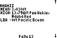
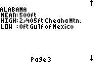
Description Tells the highest and lowest elevations and their locations for each of the 50 United States. Only readable by the Flash Application "NIFTY".
Author Ordoinc. (ordoinc@wg-zachfrompa.com)
Category TI-83/84 Plus Flash Application Variables (Nifty)
File Size 6,406 bytes
File Date and Time Tue Oct 15 15:16:41 2002
Documentation Included? No
Source Code Included? No

SCREEN SHOTS

REVIEWS

There are no reviews for this file.

LEAVE FEEDBACK

Questions, comments, and problems regarding the file itself should be sent directly to the author(s) listed above.

Write a review for this file (requires a free account)

Report inappropriate or miscategorized file (requires an account; or you may email us directly)

If you have downloaded and tried this program, please rate it on the scale below
BadGood
1  2  3  4  5  6  7  8  9  10  

  Copyright © 1996-2019, the ticalc.org project. All rights reserved. | Contact Us | Disclaimer